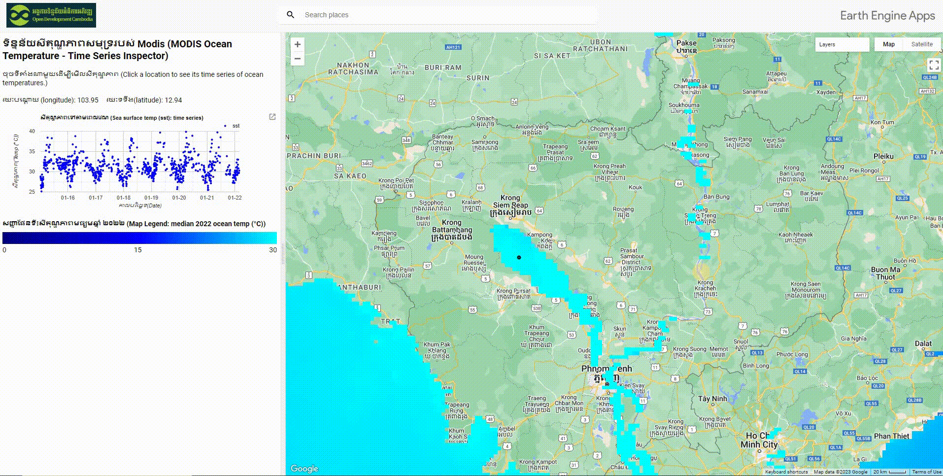
Sea surface temperature from MODIS Aqua Data
ຈັດພິມໂດຍ: Open Development Cambodia
ແຫຼ່ງຂໍ້ມູນ (2)
ເບິ່ງຕົວຢ່າງຂໍ້ມູນ - How to download data Sea surface temperature
Additional Info
| Field | Value |
|---|---|
| ປະເພດຫົວຂໍ້ຊຸດຂໍ້ມູນ | Marine and coastal areas |
| ພາສາ |
|
| ຂໍ້ຈຳກັດໃນການນຳໃຊ້ | This dataset is in the public domain and is available without restriction on use and distribution. See NASA's Earth Science Data & Information Policy (https://science.nasa.gov/earth-science/earth-science-data/data-information-policy) for additional information. |
| ວັນທີສິ້ນສຸດການເກັບກຳຂໍ້ມູນ | 1 ມັງກອນ 2023 |
| ຊື່ທາງພູມສາດ |
|
| ຈຸດພິກັດຂອບເຂດເບື້ອງຕາເວັນຕົກ | 102.57548388195839 |
| ຈຸດພິກັດຂອບເຂດເບື້ອງຕາເວັນອອກ | 107.57628373662962 |
| ຈຸດພິກັດຂອບເຂດທາງທິດໃຕ້ | 9.620168695594206 |
| ຈຸດພິກັດຂອບເຂດທາງທິດເໜືອ | 14.620968550265445 |
| ຄວາມຊັດເຈນດ້ານທີ່ຕັ້ງ | There are known inaccuracies and artifacts in the dataset, please use the product with awareness of its limitations. |
| ຂັ້ນຕອນການປະມວນຂໍ້ມູນ | The dataset was obtained from https://oceancolor.gsfc.nasa.gov , https://earthdata.nasa.gov/about, and google earth engine dataset (NASA/OCEANDATA/MODIS-Aqua/L3SMI). Its data was extracted only sea surface temperature (sst). Then, writing JavaScript on Google Earth Engine was conducted to build the data visualization application for user interface. |
| ໜ່ວຍງານຮັບຜິດຊອບ | NASA Goddard Space Flight Center, Ocean Ecology Laboratory, Ocean Biology Processing Group. Moderate-resolution Imaging Spectroradiometer (MODIS) Aqua Ocean Color Data, NASA OB.DAAC, Greenbelt, MD, USA. |
| ຂໍ້ມູນການສ້າງ metadata | Metadata last updated on 2023-01-27. For inquiries contact: Open Development Cambodia Address: #23B St. 606, Phnom Penh, Cambodia. Email: contact@opendevcam.net Website: http://www.opendevcam.net |
| ສັນຍາລິຂະສິດ |
No license given |
| ລິຂະສິດ | To be determined |
| ຄຳສັບຫຼັກ | Marine study,Surface temperature |
| ວັນທີອັບໂຫຼດ | ມັງກອນ 27, 2023, 07:31 (UTC) |
| ວັນທີດັດແປງ | ມັງກອນ 27, 2023, 07:59 (UTC) |